Show interactive timeline
Geology of Arran
By G.W. Tyrell
Tyrell, G.W. 1928. The geology of Arran. Edinburgh, HMSO [for the Geological Survey]
Cover [supplied]
Title page
This web version of the memoir has the following additions, all with Grid references.
- Links to thin sections cited in the Memoir
- Representative photographs of rock hand specimens of Arran
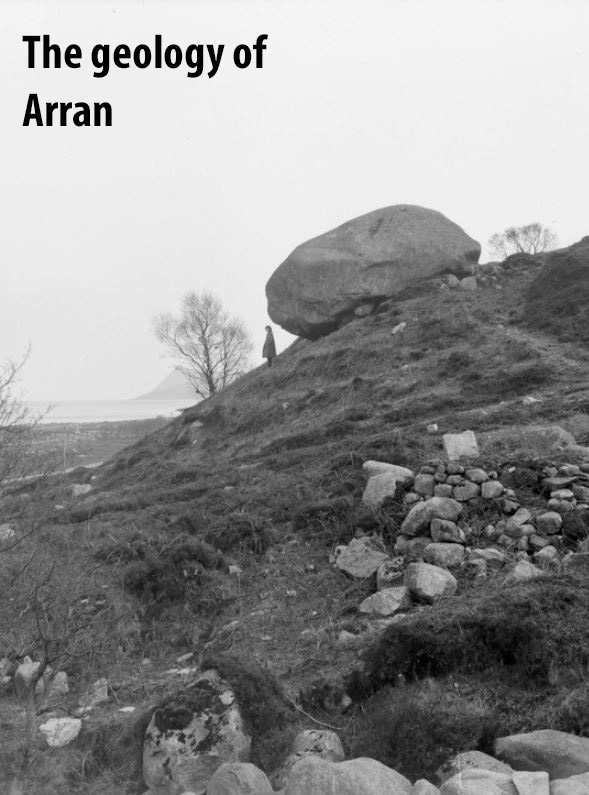
- Survey photographs taken at the time of the original mapping
- Links to BGS 1:10,560 County Series geological maps
Contents
Contents
Title page and preliminaries
Chapter 1. Introduction and physical features
Chapter 2 Summary of geology. History of investigation
Chapter 3 The Dalradian Formation
Chapter 4 (?)Arenig rocks
Chapter 5 The Old Red Sandstone
Chapter 6 The Carboniferous rocks
Chapter 7 The Carboniferous rocks (continued)
Chapter 8 The New Red Sandstone. Lower Division (Permian)
Chapter 9 The New Red Sandstone. Upper Division (Triassic)
Chapter 10 Mesozoic Fragments in the Central Ring Complex
Chapter 11 The Cainozoic igneous rocks. Introduction and General Summary. The Crinanite Sills .
Chapter 12 The Cainozoic igneous rocks (continued). Quartz-dolerite and related craignuritic and felsitic intrusions
Chapter 13 The Cainozoic igneous rocks (continued). The Northern Granite
Chapter 14 The Cainozoic igneous rocks (continued). The Central Ring Complex
Chapter 15 The Cainozoic igneous rocks (continued). The Minor acid intrusions
Chapter 16 The Cainozoic igneous rocks (continued). The Arran Dyke Swarm
Chapter 17 Post-igneous, glacial, and post-glacial geology of Arran
Chapter 18 Economic geology
Bibliography
Figures, plates and tables
2024 additions
Photographs of rock hand specimens, Arran. From the BGS Systematic Series
Survey photographs taken as part of the mapping of Arran
BGS 1:10,560 County Series geological maps


