A4 DR2 Harlington Railway Cutting
Site information
Site name: Harlington Railway Cutting
Site key: DR2
Grid reference:
Site type: disused quarries, pits and cuttings
Local authority: Doncaster Metropolitan Borough Council, South Yorkshire
Site dimensions: 1500 m x 7 m
Site owner: Not known
Conservation status: Possible Regionally Important Geological Site
Date: No Date
Field surveyor: Scott Engering Date: 13/3/07
Stratigraphy and rock types
Time unit: Carboniferous, Westphalian Rock unit:
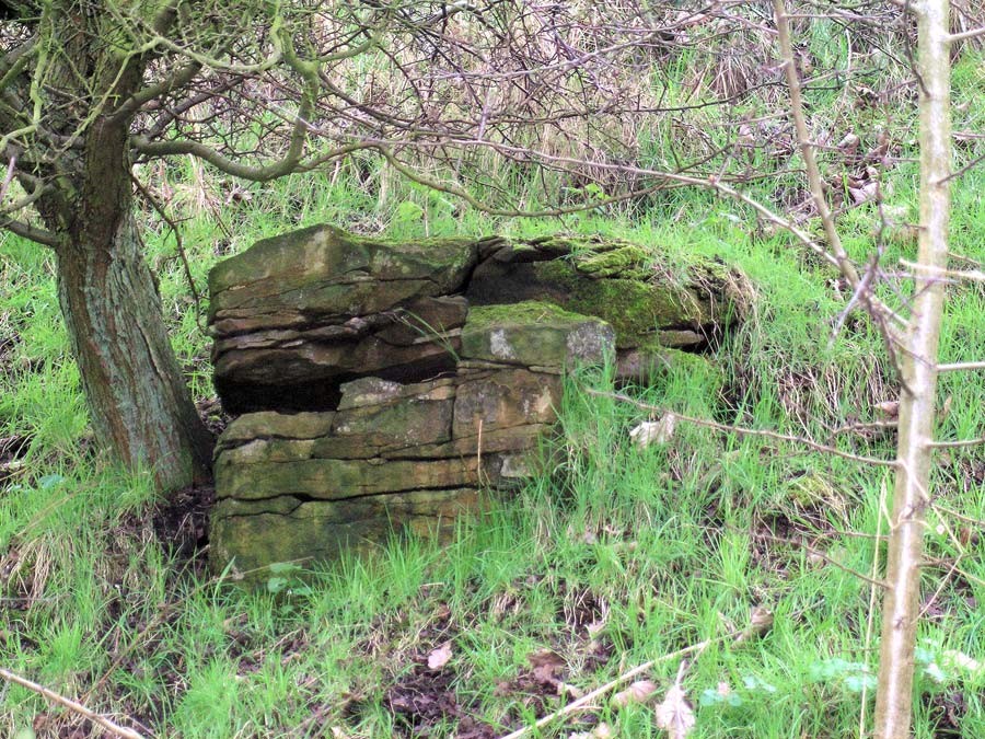
Rock type: Sandstone Details: Massive cross-bedded sandstone with some flaggy beds
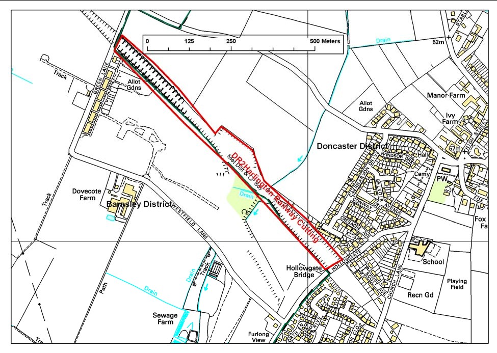
Site map
This map is based upon Ordnance Survey topographic material with the permission of Ordnance Survey on behalf of The Controller of Her Majesty’s Stationery Office, © Crown copyright. Unauthorised reproduction infringes Crown Copyright and may lead to prosecution or civil proceedings. Licence Number: 100017897 [2007]
Site description
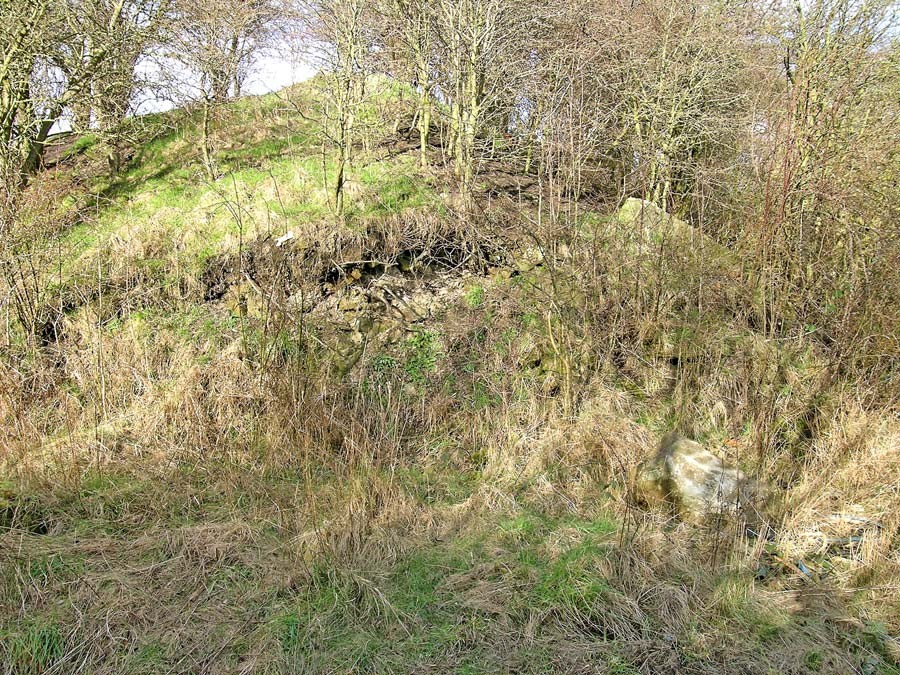
The site surveyed comprises the section of old railway cutting to the east of Harlington. Occasional and very isolated exposures of
From Green Lane Bridge, exposure of rock in the cutting was slightly better but again these were very small and isolated, with no good full sections. Based on criteria for the original RIGS survey and for the purposes of the current survey, this site would not be considered as as a RIGS, with its only real value being for geological field mapping work.
RIGS assessment of site value DR2 Harlington Railway Cutting
Ratings: 1–2 very poor; 3–4 poor; 5–6 acceptable/useful; 7–8 quite good; 9–10 very good/excellent; N/A not applicable; D/K don't know
Access and safety
Aspect/Description/Rating road access & parking On street at Green Lane. Very restricted at Hollowgate. Rating: 5
Safety of access From Hollowgate, along specially built path. Muddy bank at Green Lane off agricultural land. Fieldwork precautions needed. Rating: 5
Safety of exposure Exposures visible from cutting floor, but very muddy in places. Rating: 5
Permission to visit N/A
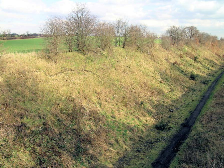
Current condition Most of the eastern end is embankment. Western end more rocky but heavily vegetated. Rating: 5
Current conflicting activities None envisaged
Restricting conditions Limited exposures available
Nature of exposure Old railway cutting
Multiple exposures/prospect for trail Limited value
Notes
Culture, heritage & economic
Aspect/Description/Rating
Historic, archaeological & literary associations Industrial archaeology and railway history of area. Rating: 5
Aesthetic landscape Very limited due to sunken position. Adjacent to restored site of Barnburgh Colliery. Rating: 4
History of earth sciences Research field mapping value only. Rating: 7
Economic geology Industrial archaeology associated with former Barnburgh Colliery. Rating: 5
Notes Limited value except for associations with Barnburgh Colliery
Education and science
Surface processes vegetation growth on rocky outcrops Rating: 5
Geomorphology Not applicable Rating: 0
Sedimentary Limited opportunities to study lithology due to lack of exposure. Rating: 5
Fossils Not applicable. Rating: 0
Igneous Not applicable 0
Metamorphic Not applicable 0
Tectonic: structural Not applicable. Rating: 0
Minerals Not applicable.. Rating: 0
Stratigraphy Research and mapping potential as a very rare exposure of
Notes
Geodiversity value
Limited. Very limited exposure of value to research and field mapping only. Rating: 5