Show interactive timeline
Northumberland National Park Geodiversity Audit and Action Plan
D J D Lawrence BSc, S L B Arkley BSc, J D Everest MA, PhD, S M Clarke BSc, MSc, PhD, FGS, D Millward BSc, PhD, FGS, CGeol, E K Hyslop BSc, MSc, PhD, FGS, CGeol, G L Thompson BSc, MSc1, B Young BSc, FIMM, CEng2
Contents
Title page and preliminaries
Acknowledgements
Section 1 Understanding geodiversity
Understanding geodiversity
What is geodiversity?
The scope of this Geodiversity Audit and Action Plan
National Parks
The aim of this Geodiversity Audit and Action Plan
Geodiversity and the planning system
Protecting geodiversity
Section 2 Roots of our geological heritage
Roots of our geological heritage
Evolution of the rocks and landscape in the district
The influence of geodiversity in the landscape
Silurian rocks
Carboniferous rocks
Igneous rocks
Metamorphic rocks
Quaternary deposits and landforms
Mineral veins and minerals
Geological structures
Fossils and palaeontology
Mines and quarries
Building stone and the built heritage
Section 3 Exploring and celebrating geodiversity
Exploring and celebrating geodiversity
Education and research
Archive and materials collections
Interpreting the geodiversity of Northumberland
National Park and the surrounding area
Section 4 Geodiversity Action Plan
Action plan
Geodiversity sites in Northumberland
National Park and the surrounding area
Glossary
Selected bibliography
Figures
Figures
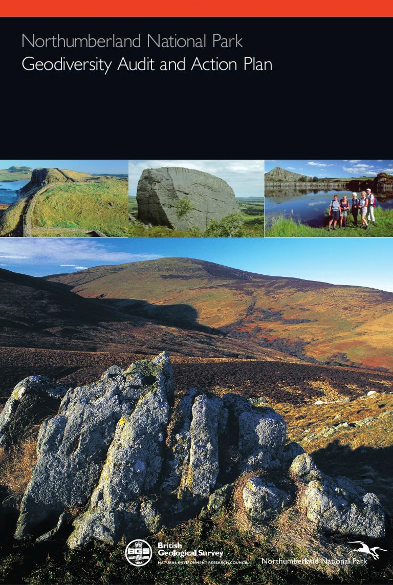
(Front cover) Cover images clockwise from top left: Hadrian’s Wall above cliffs of Whin Sill, looking west towards Crag Lough © Graeme Peacock. The Drake Stone, a huge Fell Sandstone boulder near Harbottle BGS © NERC. Cawfields Quarry in the Whin Sill, now a recreation area © Graeme Peacock. Looking south-west from Long Crags towards the granite hills of Hedgehope and Cheviot © Graeme Peacock www.graeme-peacock.com
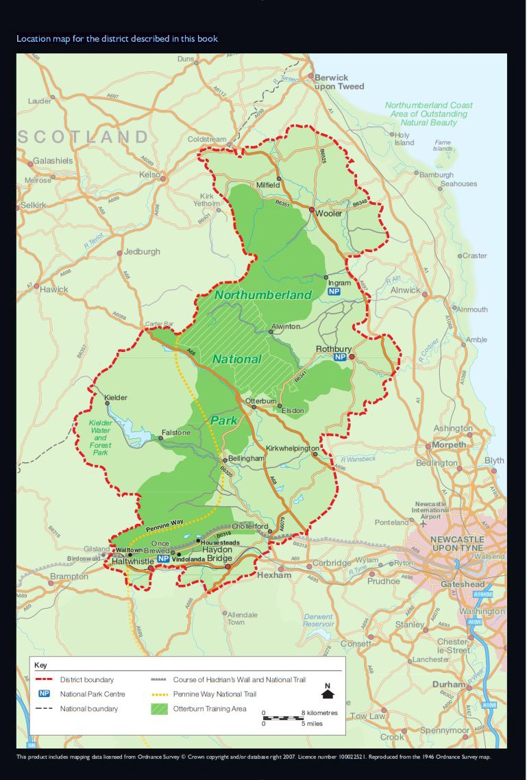
(Location map) Location map for the district described in this book.