8 The Carboniferous (Namurian and Westphalian) of the Cliviger Valley, Todmorden
Paul Wignall University of Leeds and Paul Kabrna Craven and Pendle Geological Society
Purpose
To examine Namurian and Westphalian deltaic cyclothems, their sedimentology and fossils.
Logistics
A one-day excursion consisting of the short, but strenuous route of Ratten Clough (2 km), and a longer route taking in Coal and Paul Cloughs (8 km round trip). All routes involve walking over moorland and crossing streams so strong, waterproof footwear should be worn. Cars can be parked in a lay-by off the A646 (T)
Prior permission for access should be sought from Coal Clough Farm, Coal Clough Lane, off Pudsey Road, Cornholme, Todmorden, W. Yorks.
Maps
O.S. 1:25 000 Sheet 690 Rawtenstall & Hebden Bridge; O.S. 1:50 000 Sheet 103 Blackburn & Burnley; BGS 1:50 000 Sheet 76, Rossendale (solid edition).
Geological background
The Cliviger Valley straddles the Yorkshire/Lancashire border and at its head it marks the watershed of the drainage basins of these counties. It is also one of the most spectacular examples of a glacially over-deepened valley in the central Pennines. The incision of a glacial meltwater channel down the valley has caused the tributary streams to be left 'hanging' and these are currently actively cutting down into the bedrock, producing the numerous natural exposures of Carboniferous rocks that are the focus of this excursion.
The rocks belong to the Namurian Series (usually called the Millstone Grit) and the Westphalian Series (or Coal Measures). Both series are characterized by a repetitive association of rock types caused by the repeated advance of sandy deltas into a deep water basin that occupied this part of the world in the late Carboniferous. These cycles ofsedimentation have been called cyclothems. They consist ideally of sediments that gradually coarsen upwards from shales through siltstones to sandstones. They are commonly capped by coals in the Coal Measures, though it should be noted that coals also occur in the Millstone Grit, and that their distinction from the Coal Measures is therefore somewhat arbitrary. As will be seen on the excursion, cyclothems are rarely ideally developed and the actual succession commonly consists of shale-siltstone sequences that are sharply overlain by sandstones which can vary greatly in thickness.
The shales at the bases of the cyclothems often contain a marine fauna which includes bivalves and goniatites. As the goniatites evolved very rapidly, each marine band usually contains a unique and diagnostic species that therefore facilitates their correlation.
There is a fascinating local history of mineral extraction along the line of the Cliviger Valley Fault. Evidence for lead mining dates back to the early 17th century when most of the activity was centred around Thieveley Farm. Though little evidence remains, there are clues to the mining such as old drifts and spoil heaps (e.g. in the vicinity of Dean Scout,
Excursion details
For those for whom such distinctions are important, the first half of this excursion occurs in Lancashire not Yorkshire.
Locality 1 [SD 891 269]
The Gastrioceras cancellatum Marine Band is exposed in a small shale cliff and on the water-worn ledges at stream level at this location in the lower reaches of Ratten Clough. The shales of the marine band have been cemented to form a hard, resistant lithology.
A short distance upstream, the
Locality 2 [SD 890 267]
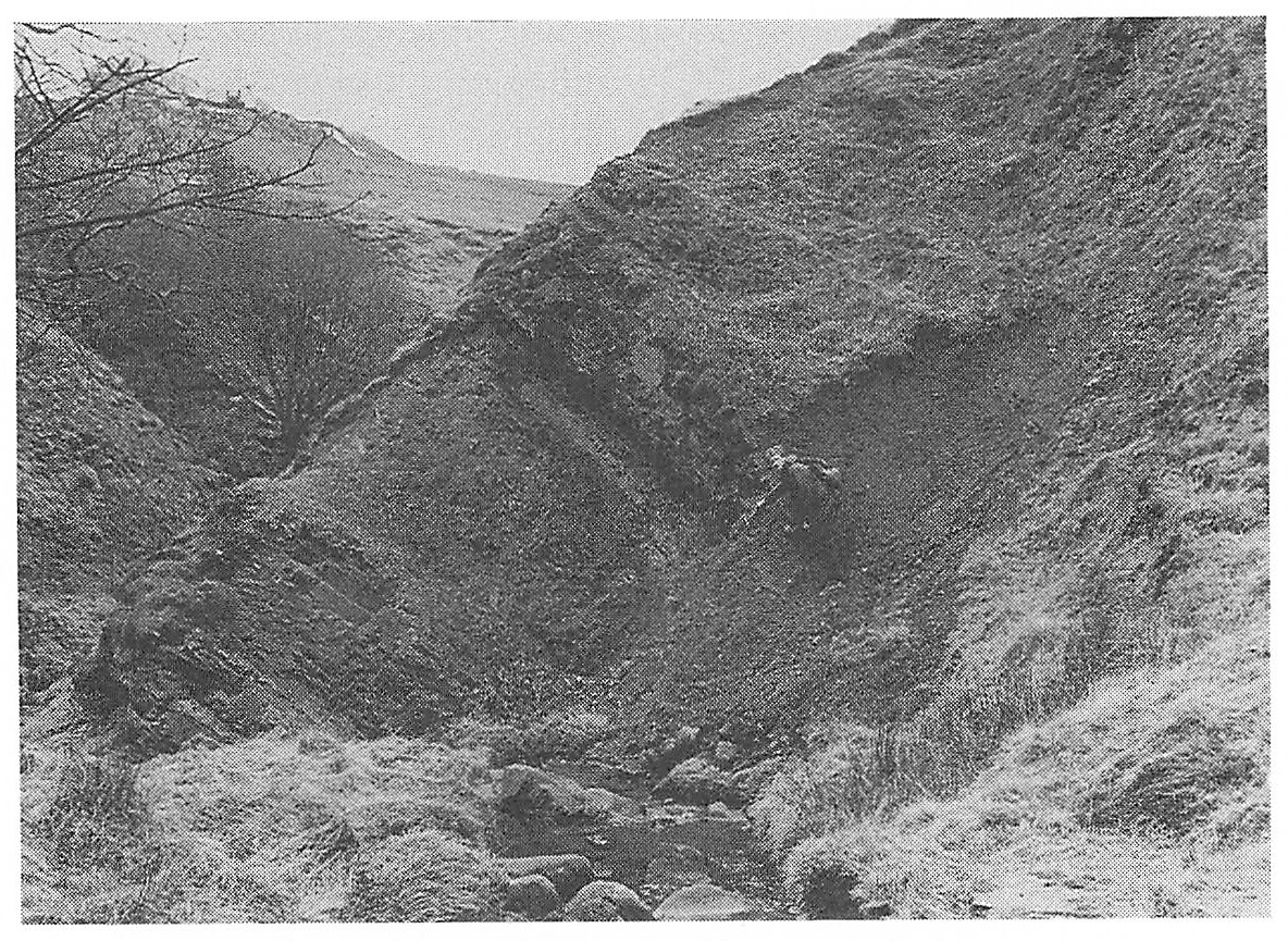
Ascend the increasingly steep and eventually precipitous Ratten Clough to the base of a superb cliff section of the
Locality 3 [SD 888 267]
Those who have the stamina can make their way around the
It is instructive to view the hillside on the opposite side of the Cliviger Valley from this point. A series of ridges with steep southeasterly and gentle northwesterly slopes represents the expression of several Westphalian cyclothems dipping at around 20° to the west — sandstones form the ridge-tops. This is in contrast to the strata just examined on the southwest side of the valley which dip very gently to the southwest. The change in dip and strike occurs across the Cliviger Fault which runs along the line of the railway line in this part of the valley. This is a major fault with a downthrow of over 200 m to the north, along which patchy deposits of galena have been mined.
For the second half of the excursion, cars are best parked in Cornholme for there is little parking space in the Pudsey Clough valley. Make your way up this valley, noting the impressive crags of the Reddish Shore Rocks at the head of the Clough. This is the
Locality 4 [SD 906 269]
An excellent series of trackside exposures shows the lowest beds of the Coal Measures. The shales above the
From here proceed northwest up Coal Clough.
Locality 5 [SD 905 271]
Coal Clough shows a sharp deviation in its course as it cuts down through a thin sandstone, the
Locality 6 [SD 904 273]
If permission has been obtained at Coal Clough Farm, ascend the upper reaches of Coal Clough to where an impressive i oo m long cliff section displays a variety of Coal Measure shales. At the base of the cliff, the Lower Mountain Mine coal seam is developed with a sandstone rib at its centre. This is directly overlain by the Gastrioceras listeri Marine Band, which contains goniatites and several species of bivalve including the spectacular, radially ribbed Dunbarella papyracea. The marine band contains large bullions (carbonate concretions) which formed early in the burial history of the shale, thereby preserving the goniatites in an uncompacted state. Occasionally the chambers of the goniatites contain a viscous, green oil rather like Swarfega, presumably the decomposed remains of the goniatite animal itself.
The following sections in Paul Clough can either be examined by returning to Locality 4 or, as described here, by crossing the moorland from Locality 6 to Stiperden House and walking downstream. The dip of the rocks in Paul Clough is rather steep which means that an exceptionally large amount of Namurian stratigraphy can be seen over a relatively short distance.
Locality 7 [SD 910 279]
In a small shale bank, the goniatite
Walking downstream from this locality, two thin sandstones can be seen to cross the valley but the intervening shales are not exposed.
Locality 8 [SD 907 276]
The third sandstone, the
Around 30 m downstream from the top bedding plane of the
Locality 9 [SD 907 273]
Further downstream, the
Locality 10 [SD 907 272]
This splendid gorge in the