Show interactive timeline
Doncaster Geodiversity Assessment Volumes 1&2
S Engering and H F Barron Contributors
A H Cooper Editor
Geology and Landscape South Programme Commissioned Report CR/07/025N
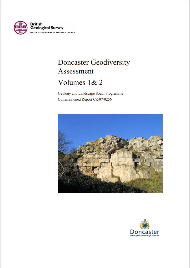
(Front cover)
Contents
Doncaster Geodiversity Assessment Volume 1 title page and preliminaries
Foreword
I acknowledgements
I contents
Summary
1 Introduction
1.1 Project background
1.2 Project objectives
1.3 Legislative and policy context
2 Geodiversity and its importance
2.1 Geodiversity – why is it important?
3 The geology of Doncaster
3.1 Introduction — Bedrock
3.2 Introduction — Quaternary
3.3 Geology and landscape – natural areas
3.4 Carboniferous
3.5 Permian
3.6 Triassic
3.7 Neogene (Quaternary)
3.8 Structure
4 Mineral resources
4.1 Introduction
4.2 Resources and reserves
4.3 Sand and gravel
4.4 Crushed rock aggregates
4.5 Industrial dolostone
4.6 Brick clay, including fireclay
4.7 Building stones
4.8 Coal
4.9 Peat
4.10 Hydrocarbons.
5 Groundwater resources
5.1 Overview
5.2 Permian Yellow Sands, Cadeby and Brotherton formations
5.3 Triassic Sherwood Sandstone Group.
5.4 Quaternary superficial deposits.
6 Geodiversity of Doncaster
6.1 Site of Special Scientific Importance (SSSI)
6.2 Regionally Important Geological/Geomorphological Sites (RIGS)
7 Sources of information
7.1 BGS maps
7.2 South Yorkshire RIGS Group
7.3 Doncaster Council
7.4 Project GIS
8 Glossary
9 Selected bibliography
9.1 General geodiversity
9.2 Geology of Doncaster
Appendix UKRIGS Field Record and Site Assessment
A1 D6 Denaby Lane
A2 D166 Doncaster Road
A3 D177 Wath Road Railway Cutting
A4 DR2 Harlington Railway Cutting
A5 DR3 Cadeby Waste Water Works
A6 DR1 Denaby Woods
A7 DR6 Barnburgh Cliff
A8 D11 Hazel Lane Quarry
A9 D4 Watchley Crags
A10 D15 Melton Park
A11 D133 Hooton Pagnell
A12 D13 North Cliff Quarry
A13 D5 Hooton Pagnell Village Pound
A14 D20–D22 Cadeby Cliff/Constitution Hill
A15 D112 Parknook Quarry
A16 D28 Pot Ridings Wood Railway Cutting
A17 DR5 Levitthagg Wood
A18 D94 Warmsworth Quarry
A19 D78 Warmsworth Park
A20 DR4 Nearcliff Wood Quarries
A21 D300 Conisbrough Caves East
A22 D301 Conisbrough Caves West
A23 D302 Conisbrough Caves South
A24 D303 Levitt Hagg Hole
A25 D61 New Edlington Brick Pit
A26 D31 Leys Hill Bridge
A27 D51 Hexthorpe Flatts
A28 D87 Brodsworth Quarry
A29 D99 Skelbrooke Quarry
A30 D44 Cedar Road Adventure Playground
A31 D101 Dunsville Quarry
A32 D102 Common Lane Quarry
A33 D190–192 Blaxton Common
A34 D109 Hurst Plantation Quarry
Doncaster Geodiversity Assessment Volume 2: Maps
Figures

